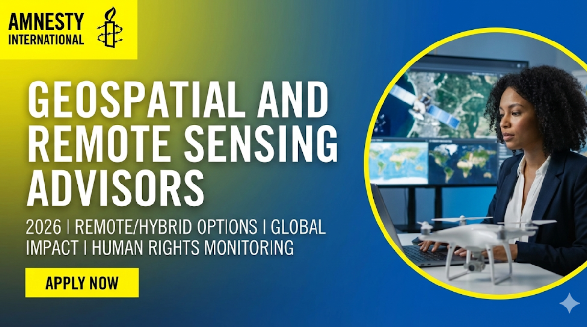
Geospatial and Remote Sensing Advisors at Amnesty International 2026 are a hot topic for humanitarian tech professionals. Amnesty International is actively seeking skilled individuals to join their mission, offering a unique opportunity to leverage advanced technology for global human rights monitoring. This role represents a significant career advancement for those passionate about making a tangible difference through data and satellite imagery. Don’t miss out on this chance to contribute to a world-renowned organization dedicated to justice and equality.
🔥 Trending: Unlock Your Career: The Global Fund’s 2026 Pharmaceutical Sourcing Role You Can’t Miss
Table of Contents
Overview of Geospatial and Remote Sensing Advisors at Amnesty International 2026
Amnesty International is at the forefront of human rights advocacy, and in 2026, they are expanding their technical capabilities. This role as a Geospatial and Remote Sensing Advisor is crucial for analyzing complex data to document human rights violations, track conflict dynamics, and support advocacy efforts globally. You will be instrumental in transforming raw satellite imagery, aerial photography, and other geospatial data into compelling evidence. The organization seeks passionate individuals who can bridge the gap between advanced technology and impactful human rights work, making this an exciting opportunity for professionals looking to apply their expertise in a meaningful context. The Geospatial and Remote Sensing Advisors at Amnesty International 2026 will play a vital part in shaping future investigations.
Key Responsibilities
- Analyze satellite imagery and other geospatial data to identify patterns and trends relevant to human rights issues.
- Develop and implement methodologies for collecting, processing, and interpreting geospatial information.
- Produce clear and concise reports, maps, and visualizations for internal use and external advocacy.
- Collaborate with researchers, investigators, and advocates to integrate geospatial evidence into ongoing work.
- Stay abreast of emerging technologies and methodologies in remote sensing and geospatial analysis.
- Provide training and technical support to colleagues on geospatial tools and techniques.
Qualifications
- Master’s degree or equivalent experience in Geography, Remote Sensing, GIS, Environmental Science, International Relations, or a related field.
- Proven experience in geospatial analysis, remote sensing, and GIS software (e.g., ArcGIS, QGIS, Google Earth Engine).
- Experience with image processing and analysis of satellite and aerial imagery.
- Demonstrated understanding of human rights issues and their intersection with conflict, environment, or development.
- Excellent analytical, critical thinking, and problem-solving skills.
- Strong written and verbal communication skills.
- Ability to work independently and as part of a diverse, international team.
- Fluency in English; knowledge of other languages is an asset.
Key Skills Needed
- GIS Software Proficiency: Mastery of industry-standard GIS software like ArcGIS Pro, QGIS, and spatial analysis tools.
- Remote Sensing Software: Expertise in platforms for image processing and analysis, such as ERDAS IMAGINE, ENVI, or Google Earth Engine.
- Data Analysis & Interpretation: Ability to extract meaningful insights from complex datasets, including time-series analysis and statistical modeling.
- Cartography & Visualization: Skill in creating clear, accurate, and impactful maps and visual aids to communicate findings effectively.
- Programming/Scripting: Familiarity with scripting languages like Python for automating workflows and data manipulation.
- Geospatial Databases: Understanding of managing and querying spatial data within databases.
Interview Prep: Likely Questions
- Question: Describe a challenging project where you used geospatial analysis to investigate a complex issue. What was your approach, and what were the outcomes?
- Tip: Focus on clearly articulating your problem-solving process, the specific tools and techniques you employed, and the impact of your findings. Quantify results where possible.
- Question: How do you ensure the accuracy and integrity of geospatial data used in sensitive human rights documentation?
- Tip: Emphasize your understanding of data validation techniques, metadata management, source verification, and potential biases in geospatial data.
- Question: How would you integrate remote sensing data into Amnesty International’s existing advocacy strategies to highlight human rights abuses?
- Tip: Think about concrete examples. Discuss how visual evidence from satellites can corroborate or reveal human rights violations, and how this can be effectively presented to policymakers or the public.
Salary & Benefits
Amnesty International offers competitive pay commensurate with experience for this role. While specific salary figures are not detailed, as a leading international NGO, they provide comprehensive benefits packages that may include health insurance, retirement contributions, and generous paid time off, reflecting their commitment to employee well-being and professional growth. This is an excellent opportunity to join a dedicated team and contribute to a vital cause.
How to Apply
To express your interest in the Geospatial and Remote Sensing Advisors at Amnesty International 2026 positions, please carefully review the requirements and submit your application through the official Amnesty International careers portal. Ensure you highlight your most relevant skills and experiences. Please note: We do not charge any fees for recruitment.
Frequently Asked Questions
- Q: Is this a 2026 role?
A: Yes, this is a role for 2026, reflecting current and upcoming needs at Amnesty International. - Q: Can I work remotely for this position?
A: The role offers remote and hybrid options, providing flexibility for eligible candidates. Specific details will be available in the job posting. - Q: What kind of impact can I expect to make?
A: You will directly contribute to documenting human rights violations, supporting advocacy, and influencing policy through evidence-based geospatial analysis.
Take your career in geospatial analysis to a new level with Amnesty International.